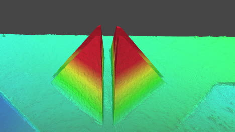
Digital elevation model of pyramids, photogrammetry 3D model, drone mapping for inspections, engineering, cartography, animation with elevation and depth map
4k 00:14
Add to Collections
Add to Favorites